Te Āpiti Geopark Geology and Formation
Te Āpiti is one of New Zealand's most remarkable geological landscapes. The towering greywacke cliffs, dramatic gorge and surrounding mountain ranges were not created overnight. They are the result of millions of years of movement beneath the Earth's surface, the steady uplift of the land, and the relentless flow of the Manawatū River.
Today, Te Āpiti offers a rare opportunity to see these powerful geological processes written into the landscape. Every cliff, ridge and bend in the river tells part of a story that is still unfolding.
A landscape beneath the sea
Millions of years ago, Te Āpiti looked very different from today. Much of what is now the lower North Island lay beneath the sea, with only a handful of small islands rising above the water.
Over millions of years, powerful tectonic forces slowly lifted the land. As the Pacific Plate was pushed beneath the Australian Plate, the Tararua and Ruahine Ranges gradually began to rise. At the same time, the sea slowly retreated, exposing the land that would eventually become the Manawatū region.
The area we know as Te Apiti underwent a remarkable transformation, from seabed, to a shallow inland sea, to the landscape we recognise today.
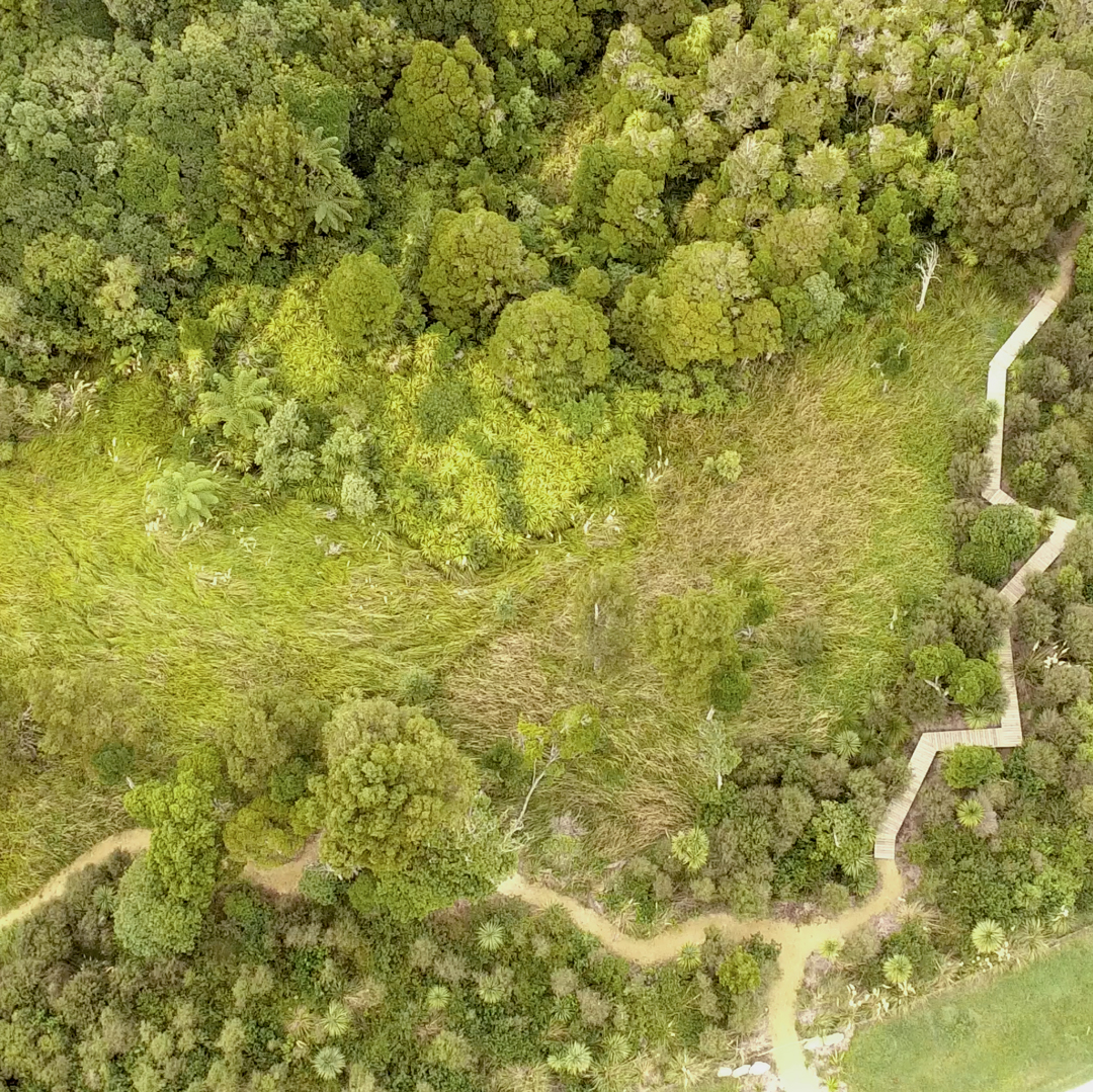
A river that refused to change course
As the mountains continued to rise, the Manawatū River did something extraordinary.
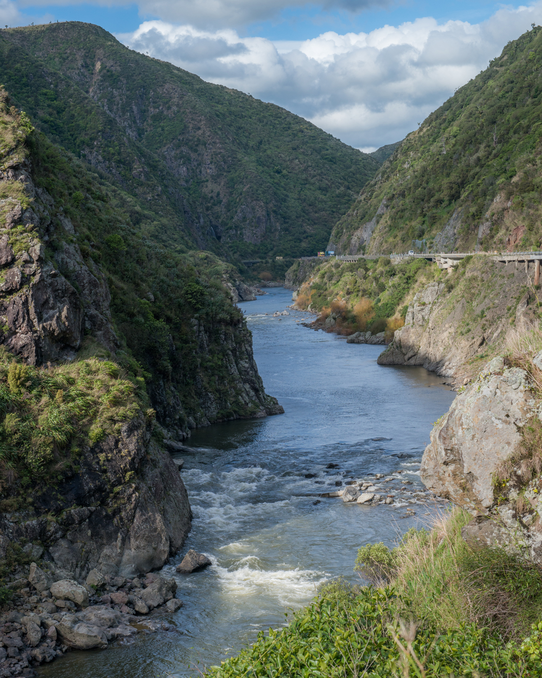
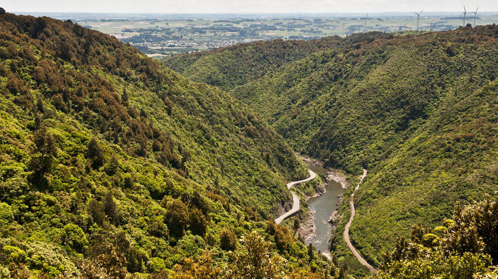
Rather than changing direction, it continued to follow the same path as the mountains were uplifted. Over hundreds of thousands of years, the river gradually carved deeper into the hard greywacke rock, cutting a passage through the rising Tararua and Ruahine Ranges.
This process created the spectacular 300-metre-deep Manawatū Gorge we see today.
Te Āpiti is one of the few places in New Zealand where a major river cuts directly through the country's main mountain divide, making it a geological landscape of national significance.
The forces beneath our feet
The landscape of Te Āpiti continues to be shaped by the movement of the Pacific and Australian tectonic plates.
Running along the base of the Ruahine Range is the Wellington (Mohaka) Fault, one of the North Island's most active earthquake faults. As the plates slowly push against one another, they lift the surrounding mountains and occasionally generate earthquakes that continue to reshape the landscape.
Although these changes happen far too slowly to notice during a visit, they have been transforming Te Āpiti for millions of years — and continue to do so today.
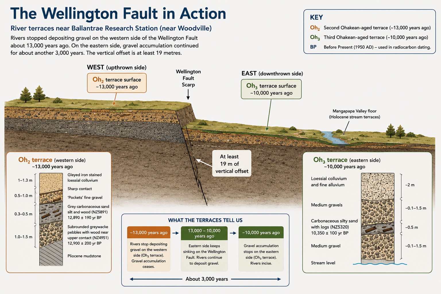
The Wellington Fault in Action (Infographic)
The ancient river gravels exposed here tell the story of movement on the Wellington Fault.
Around 13,000 years ago, rivers stopped depositing gravel on the western side of the fault. However, the eastern side continued to sink as the fault moved, creating space for rivers to keep laying down gravel for another 3,000 years.
This difference shows that the Wellington Fault lowered the eastern side of the valley by at least 19 metres during this period. Today, these layers of gravel and buried wood provide geologists with valuable evidence of how the landscape changed over thousands of years
A landscape that is still changing
Scientists have discovered that the story of Te Āpiti is far from over.
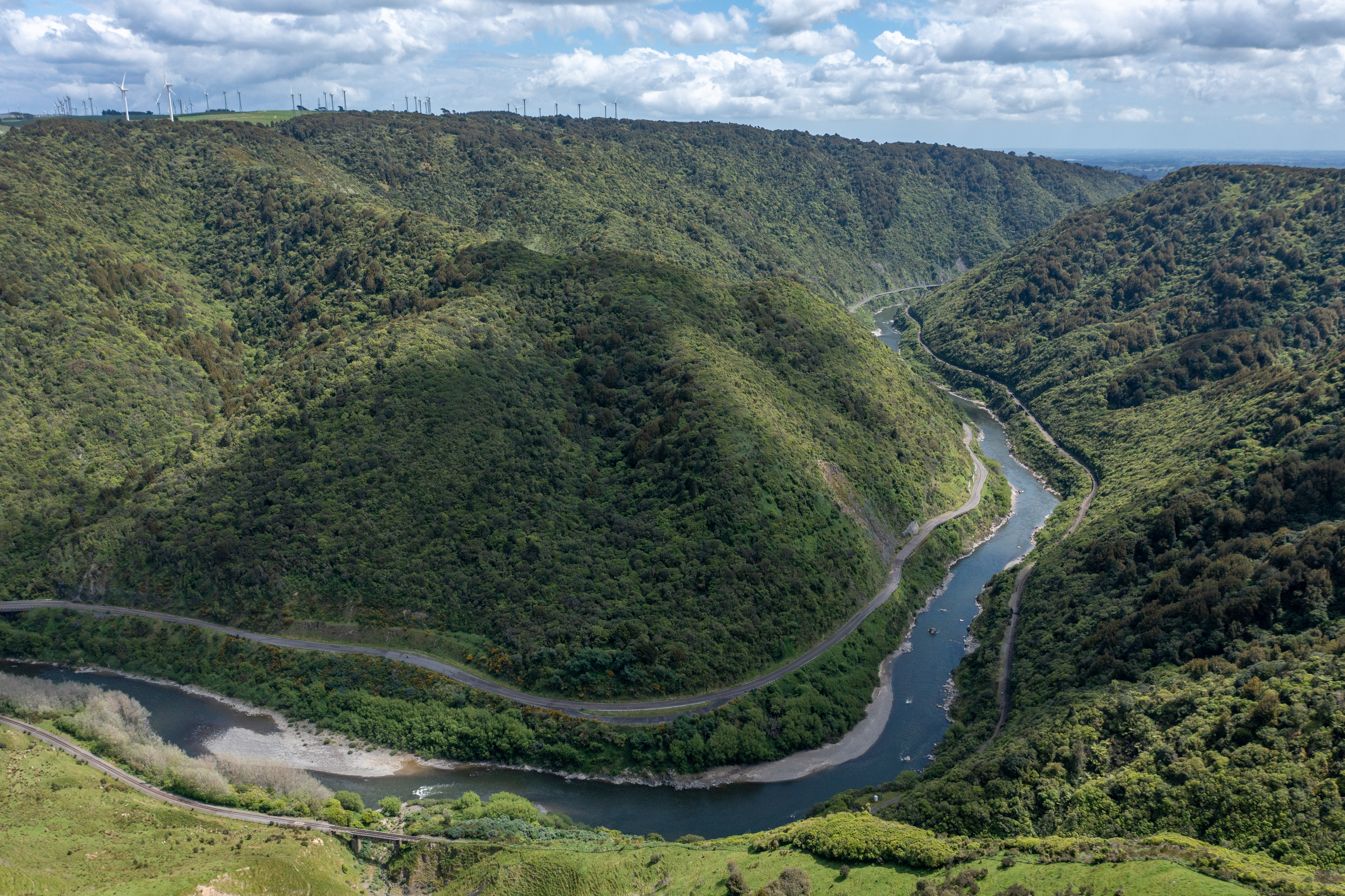
Studies at locations such as Barney's Point show that the Manawatū River continues to erode the gorge at almost exactly the same rate the surrounding mountains are rising — around 1.5 millimetres each year.
This remarkable balance between mountain uplift and river erosion has allowed the river to maintain its course through the ranges while continually reshaping the gorge.
The landscape you see today is not fixed. It is still evolving.
Photo credit PNCC - looking across the river to Barney's Point
Geology you can see today
One of the best things about Te Āpiti is that its geology isn't hidden beneath the ground. It's all around you.
As you explore the area, look for:
The towering greywacke cliffs that form the walls of the gorge.
The narrow passage carved by the Manawatū River through the junction of the Tararua and Ruahine Ranges.
The steep slopes created by millions of years of uplift and erosion.
The winding Manawatū River, which continues to shape the landscape today.
The dramatic contrast between rugged mountain terrain, native forest and the river valley below.
These features tell the story of a landscape that has been millions of years in the making, and one that continues to change with every passing year.
Reference for further information
Neall, V.E. 2018. The geological origin of the Manawatu Gorge pp. 14-23 in Neall, V. E. (editor): Plains’ Science: inventions, innovations and discoveries from the Manawatu – 3. Royal Society of New Zealand Manawatu Branch Inc. and The Science Centre Inc., Palmerston North.